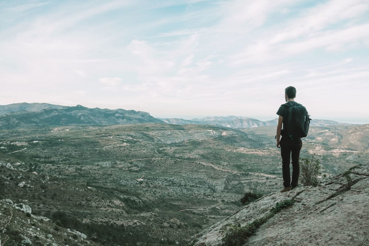
Where to hike in the Valencia region? Mountains, waterfalls and refuges
Guide updated on 8 July 2026.
You can hike across all three provinces of the Valencia region, from the roof of the territory (the Cerro Calderón, 1,838 m, in the Rincón de Ademuz) to the mountains that plunge straight into the sea along the Costa Blanca, by way of dozens of waterfalls and gorges where you can swim in summer. You can walk two hours around a natural pool or link several days on a waymarked long-distance trail. Here is where to go, what you will see, where to sleep and how to do it safely.
What are the main mountain areas of the Valencia region?
They are spread across the three provinces, from north to south. In Castellón the relief is highest and wildest, crowned by the Penyagolosa (1,813 m), the roof of the province and the second-highest summit in the region. The province of Valencia is mostly about gorges and rivers (Chera-Sot de Chera, Hoces del Cabriel, the Chulilla canyon). To the south, in Alicante, the mountains rise just a few kilometres from the beaches: Aitana (1,558 m, the roof of Alicante), Puig Campana and Montgó, facing the Mediterranean. Here is a province-by-province tour.
Which mountains can you climb in Castellón province?
Castellón holds the highest ground in the region, around the Penyagolosa and a set of large forested natural parks. This is the ground for walkers after altitude, forests and silence.
| Massif | Summit (altitude) | What you will see | Map |
|---|---|---|---|
| Penyagolosa (natural park) | Peak at 1,813 m, roof of Castellón | Yew and pine forests, the Sant Joan sanctuary, sheer south face | View |
| Serra d'Espadà (natural park) | Pic de la Rápita 1,106 m (Pico Espadán 1,099 m) | The region's largest cork-oak forest, red sandstone, springs | View |
| Els Ports / Tinença de Benifassà (natural park) | Tossal dels Tres Reis 1,356 m | Mountain villages, ibex, the Ulldecona reservoir, the far north | View |
| Desert de les Palmes (natural park) | El Bartolo 729 m | Views over the Plana and the coast, a Carmelite monastery, an easy loop | View |
The classic is the Penyagolosa. You climb to the summit (1,813 m) from the Sant Joan de Penyagolosa sanctuary via the gentler north side, while the south face drops away in a near-vertical wall of about 300 metres, popular with climbers. It is a pilgrimage site, home to the Pelegrins de les Useres, a procession of thirteen men that has walked to the sanctuary on the last Friday and Saturday of April since the 14th century. One thing to keep straight: despite its fame, the Penyagolosa is not the highest point in the region. That title goes to the Cerro Calderón (1,838 m), a quieter summit in the Rincón de Ademuz exclave.
Where can you hike in Valencia province?
Around Valencia, the mountains are more about gorges, rivers and canyons than high peaks. Three natural parks and one spectacular canyon sum up the terrain.
| Site | Where | Good to know | Map |
|---|---|---|---|
| Serra Calderona (natural park) | Between Valencia and Castellón | The Garbí viewpoint (600 m), pine and cork-oak woods; high point El Gorgo (907 m) | View |
| Chera-Sot de Chera (geological park) | Requena-Utiel county | The region's first geological natural park, gorges and the Chera fault | View |
| Hoces del Cabriel (natural park) | Venta del Moro | The largest natural park in the region (31,446 ha), the Cuchillos rock walls, a UNESCO biosphere reserve | View |
| Chulilla canyon | Chulilla, Los Serranos | Suspension bridges over the Turia and the turquoise Charco Azul, the SL-CV 72 loop | View |
The most photogenic outing is Chulilla, about an hour from Valencia: the Puentes Colgantes route crosses the Turia canyon on two suspension bridges, skirts the Charco Azul (a turquoise pool you can swim in during summer) and often links up with the Pantaneros route as far as the Loriguilla reservoir. Reckon on around ten kilometres on a well-marked path. For more day-trip ideas, we round up eight of them in our guide to what to do in Valencia this summer.
Which summits and trails in Alicante province?
This is arguably the most spectacular province for walking: mountains over 1,300 metres rise just a few kilometres from the sea, with a light and panoramas all their own. Here are the must-dos.
| Massif | Summit (altitude) | Flagship hike | Map |
|---|---|---|---|
| Serra d'Aitana | 1,558 m, roof of Alicante | From the Font de Partagat (Benifato) via the Pas de la Rabosa; sinkholes and snow-wells along the way | View |
| Puig Campana | 1,406 m, 2nd in Alicante | A demanding climb from the Font del Molí (Finestrat), 5 to 8 h round trip | View |
| Serra de Mariola (natural park) | Montcabrer 1,390 m | From Agres past the snow-wells; a range famous for its aromatic herbs | View |
| Serra de la Font Roja (natural park) | El Menejador 1,356 m | A loop from the sanctuary; the best-preserved holm-oak woodland in the Valencian territory | View |
| Serra de Bèrnia | 1,128 m | The PR-CV 7 loop through the Forat de Bèrnia, a 15 m natural tunnel; sea views | View |
| Montgó (natural park) | 753 m | The massif between Dénia and Xàbia, cliffs above the sea, the Cova de l'Aigua | View |
Two useful notes. On Aitana, the true summit holds a military base (the radome, the "bola blanca") and is off-limits: you climb to the highest accessible point, reached from the Font de Partagat via a superb passage, the Pas de la Rabosa. And the most astonishing route in the province is not a summit but a ravine: the Barranc de l'Infern, in the Vall de Laguar, nicknamed "the cathedral of hiking." This PR-CV 147 trail is a loop of about 14 km (over 800 m of ascent, 5 to 6 h) that climbs and drops on dry-stone staircases built by the Moriscos, more than 6,000 steps in all. It starts at the village of Fleix.
What are the finest waterfalls in the region?
The region has several waterfalls and natural pools, some flowing year-round and others only after rain. Here are the best known, with the essentials to know before you go.
| Waterfall | Town | Good to know | Map |
|---|---|---|---|
| Fuente de los Baños | Montanejos (Castellón) | Warm water at ~25 °C year-round, swimming even in winter, Blue Flag | View |
| Salto de la Novia | Navajas (Castellón) | A fall on the río Palancia (around thirty metres, up to 60 m depending on the source), with pools to swim in | View |
| Gorgo de la Escalera | Anna (Valencia) | A canyon and a fall of about twenty metres, on the "three waterfalls of Anna" route | View |
| Los Chorradores | Navarrés (Valencia) | Small falls over moss and pools, an easy loop of about 3 km, family-friendly | View |
| Cueva Turche | Buñol (Valencia) | A fall of about 60 m, with a path behind the water; flow mainly after rain | View |
| El Salt / Racó de Sant Bonaventura | Alcoi (Alicante) | A waterfall and old mills at the gates of Alcoi; spectacular after heavy rain | View |
If you only pick one for the summer, make it Montanejos: the Fuente de los Baños feeds natural pools whose water stays around 25 °C all year, so you can swim even out of season. The others depend heavily on the weather: Cueva Turche and El Salt in Alcoi are stunning after rain but can be a trickle in high summer. Note too that the famous Caminito del Rey (El Chorro) you see on social media is not here but in Málaga, Andalusia; the Valencian equivalent is the Charco Azul in Chulilla, mentioned above.
Can you swim at the foot of the waterfalls?
Yes at several of them, but always at your own risk: these swimming spots are natural and unsupervised. At Anna, Navarrés or Montanejos, bathing is tolerated or even set up, with local rules (no fires, no litter, often no pets). Three cautions apply everywhere: mountain water is cold and can take your breath away, the bottom is slippery and uneven, and above all, in a canyon or barranco a flash flood can strike after a storm, even one falling upstream with not a drop where you stand. Beware too of reservoirs and dam releases on river routes. For where the water is safe along the coast and where it is better to stay out, we made a full guide on where it is best not to swim around Valencia.
Where can you sleep in the mountains: are there refuges?
Yes, the region has a network of mountain refuges and lodges, most run by the Valencian mountain-sports federation (FEMECV), plus a few unstaffed refuges. Here are the most useful for a night out or as a base camp.
| Refuge / lodge | Where | Type | Good to know |
|---|---|---|---|
| Refugi-escola de Sant Joan de Penyagolosa | Vistabella del Maestrat (Castellón) | Staffed refuge-school | 46 beds fitted out in the sanctuary; opening and booking to be confirmed with the Generalitat |
| Albergue Rural Riera d'Agres | Agres, Serra de Mariola (Alicante) | Staffed lodge | 42 places, kitchen, summer pool; book on +34 660 74 53 13 |
| Albergue Font del Tarragó | Alfafara, Serra de Mariola (Alicante) | Staffed lodge | 40 places, geared to groups |
| Refugio Montanejos (El Refugio) | Montanejos (Castellón) | Cabins and rooms | Base for climbing and the Fuente de los Baños; book on +34 697 53 20 24 |
| Refugio José Manuel Vera | North face of Puig Campana, Finestrat (Alicante) | Free, unstaffed refuge | 8 places, no warden, no water on site (spring about 1 h away) |
The full list of lodges is on the FEMECV website (femecv.com), with contacts for each. For Aitana, the Font de Partagat (Benifato) is the great gateway to the massif, with a picnic area and car park, but it is not overnight accommodation. And if you want a different take on the mountains, the campsites and welcome areas of the Diputació de Castelló (the "Més que acampar" network) round out the offer, notably near Sant Joan de Penyagolosa.
How are the trails waymarked (GR, PR-CV, SL)?
With a simple colour code, the same across Spain. Two parallel marks mean you are on the right path; a cross mark means the wrong way. The colour depends on the type of route.
| Type | Colours | Length |
|---|---|---|
| GR (Gran Recorrido) | White and red | Over 50 km, several days |
| PR-CV (Pequeño Recorrido) | White and yellow | 10 to 50 km |
| SL (Sendero Local) | White and green | Under 10 km |
Three great trails structure the region. The GR-7 crosses the whole Valencia region north to south (nearly 600 km, from Fredes to El Pinós): it was the first officially waymarked trail in Spain, back in 1974, and forms part of the European E4 path. The GR-33, "Sender de la Lluna Plena," links Castelló to Sant Joan de Penyagolosa (63.5 km, over 2,500 m of ascent) in two stages. The GR-330, "Costa Blanca Interior," runs from Dénia to Orihuela (about 457 km, 20 stages) and is partly rideable by bike.
How do you hike safely in summer?
The priority in summer is heat and fire risk. Spain's Ministry of Health advises drinking often even without thirst, avoiding alcohol and caffeine, protecting yourself from the sun and not walking during the hottest hours, from noon to 4 p.m. Carry plenty of water (reckon at least 1.5 to 2 litres per person for a summer outing, more in extreme heat), a cap, sunscreen and something to eat.
On fire, the Generalitat declares pre-emergency levels (1, 2 and 3) depending on risk. At level 3, the maximum, lighting any fire is banned, as is travelling, on foot or by bike, on trails and forest tracks inside the natural parks. This is not theoretical: from 6 to 9 July 2026, level 3 was declared across the whole Valencia region. So always check the level before setting off, using the official GVA 112 Avisos app, which sends geolocated alerts, and check the weather on AEMET.
Finally, the sound habits from the Valencian civil-protection service (112CV): study your route, do not set off alone if you can help it, wear proper footwear, follow the waymarks without cutting corners, and above all always tell someone your route and expected return time. If something goes wrong, call 112 and give your exact position (a geolocation app helps a lot). A charged phone and a power bank are part of the kit.
In short
- Highest: Cerro Calderón (1,838 m, Rincón de Ademuz), ahead of the Penyagolosa (1,813 m, Castellón) and Aitana (1,558 m, Alicante).
- Most spectacular: the Barranc de l'Infern (PR-CV 147) and its thousands of Morisco steps, in the Vall de Laguar.
- Guaranteed swim: Montanejos, whose water stays at ~25 °C year-round; the other waterfalls depend on rain.
- Sleeping in the mountains: the FEMECV lodge network, the Sant Joan de Penyagolosa refuge-school, and free refuges like the José Manuel Vera.
- Safety: heat and fire in summer, check the pre-emergency level on the GVA 112 Avisos app, tell someone your route, dial 112 in an emergency.
Frequently asked questions
What is the highest point in the Valencia region?
The Cerro Calderón, also called Alto de las Barracas, reaches 1,838 m in the Rincón de Ademuz (Valencia province). The better-known Penyagolosa (1,813 m) comes second.
Where can you swim under a waterfall near Valencia?
At Montanejos (warm water year-round), the Gorgo de la Escalera in Anna, Los Chorradores in Navarrés or the Charco Azul in Chulilla. These spots are unsupervised: mind the cold, the slippery bottom and flash floods.
Can you sleep in a refuge in the Valencian mountains?
Yes, through the FEMECV lodge network (such as Riera d'Agres or Font del Tarragó in the Mariola), the Sant Joan de Penyagolosa refuge-school, or free unstaffed refuges like the José Manuel Vera on Puig Campana.
How do you recognise a waymarked trail in Spain?
By the colours: white and red for a GR (long-distance), white and yellow for a PR-CV (short route), white and green for a local path. Two parallel marks mean the right way, a cross the wrong way.
Can you hike in summer despite the heat?
Yes, early in the morning, with plenty of water and avoiding noon to 4 p.m. But check the fire-risk level first: at pre-emergency level 3, access to trails and tracks in the natural parks is banned.
Prefer to explore the region on two wheels? We put together a full guide on cycling in the Valencia region, from family greenways to the great climbs of the Costa Blanca. And for outings that need no walking at all, take a look at what to do in Valencia this summer.
Le Livre blanc de l'expat à Valencia
NIE, empadronamiento, fiscalité, école, logement : tout l'essentiel pour s'installer, réuni dans un guide PDF. Laisse ton e-mail, on te l'envoie.
🎉 Et voilà ! Ton Livre blanc de l'expat s'ouvre ici :
Ouvrir le Livre blancDernière étape pour rejoindre l'aventure : confirme ton inscription dans l'e-mail qu'on vient de t'envoyer.